Hike and Fly
Mit Leichtigkeit dank der burnair Map
„Die Einfachheit begeistert mich, ich kann nicht mehr ohne die App „
Yves Laurent burnair App Nutzer
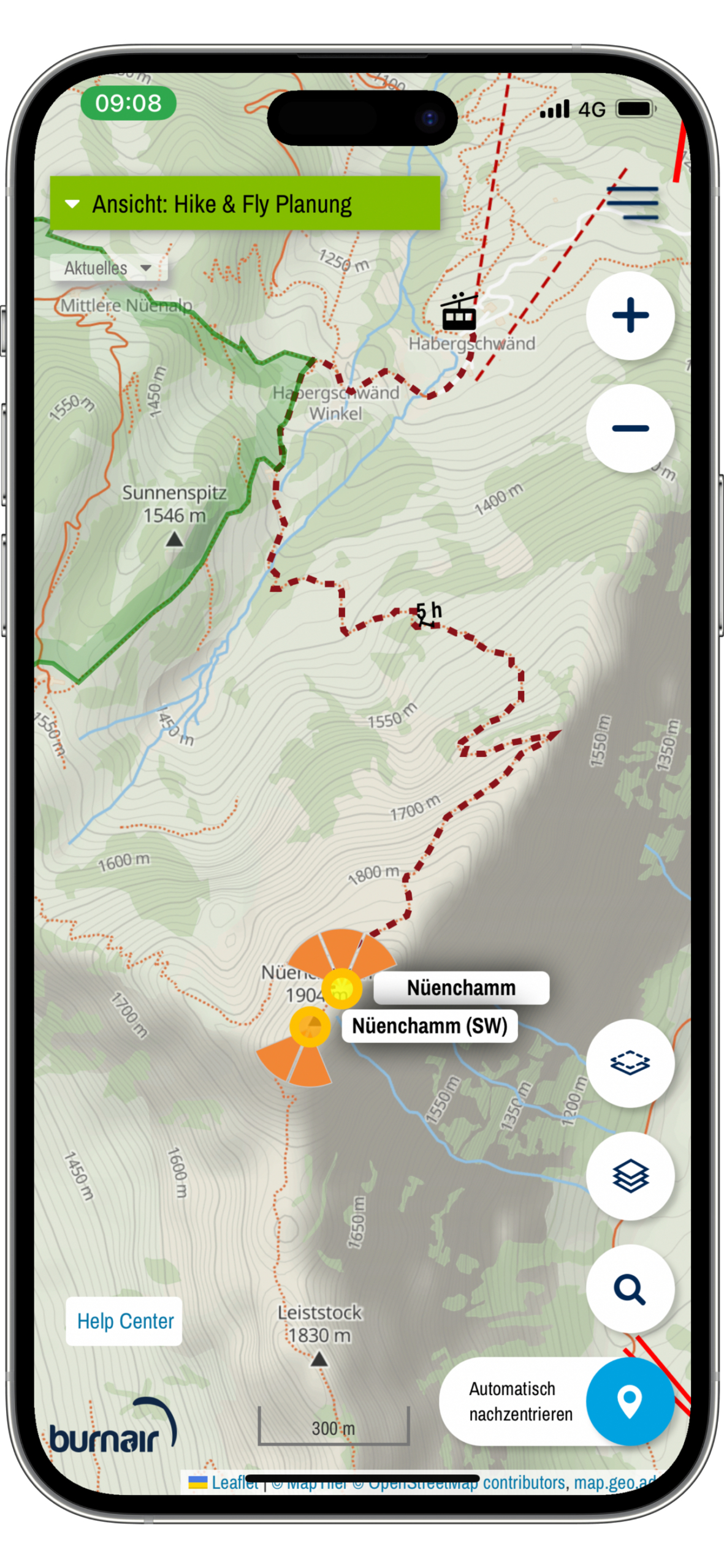
Über 500 H&F Startplätze
Ready zum Wandern!
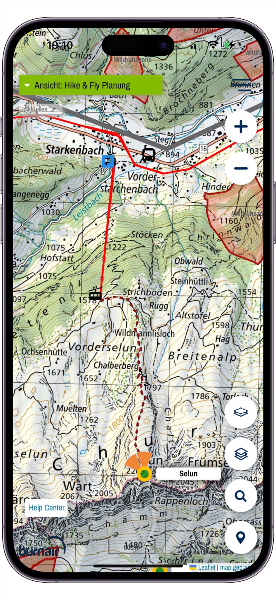
3 Schritte für deine individuelle Startplatzsuche
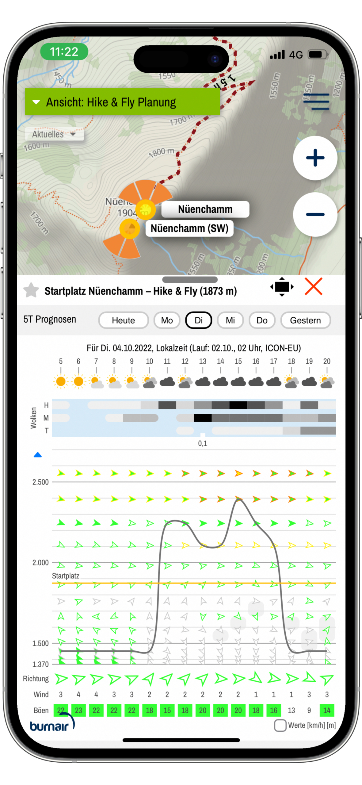
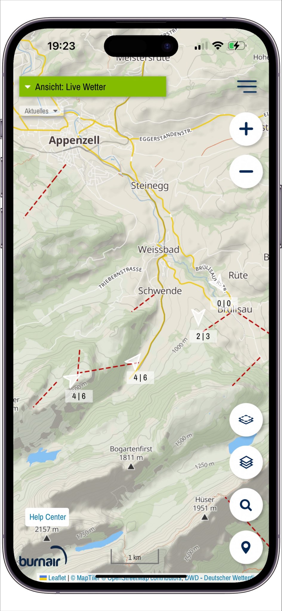
1. Wetter Prognose analysieren
- Wind auf allen Höhen
- Windrichtung
- Windstärke
- Basis
- Regen
- inkl. Previtempfinger
2. Layer aktivieren
- Hangneigungsklasse (alpenweit)
- Baumdeckung (ESA Satellit, ganzer Alpenraum)
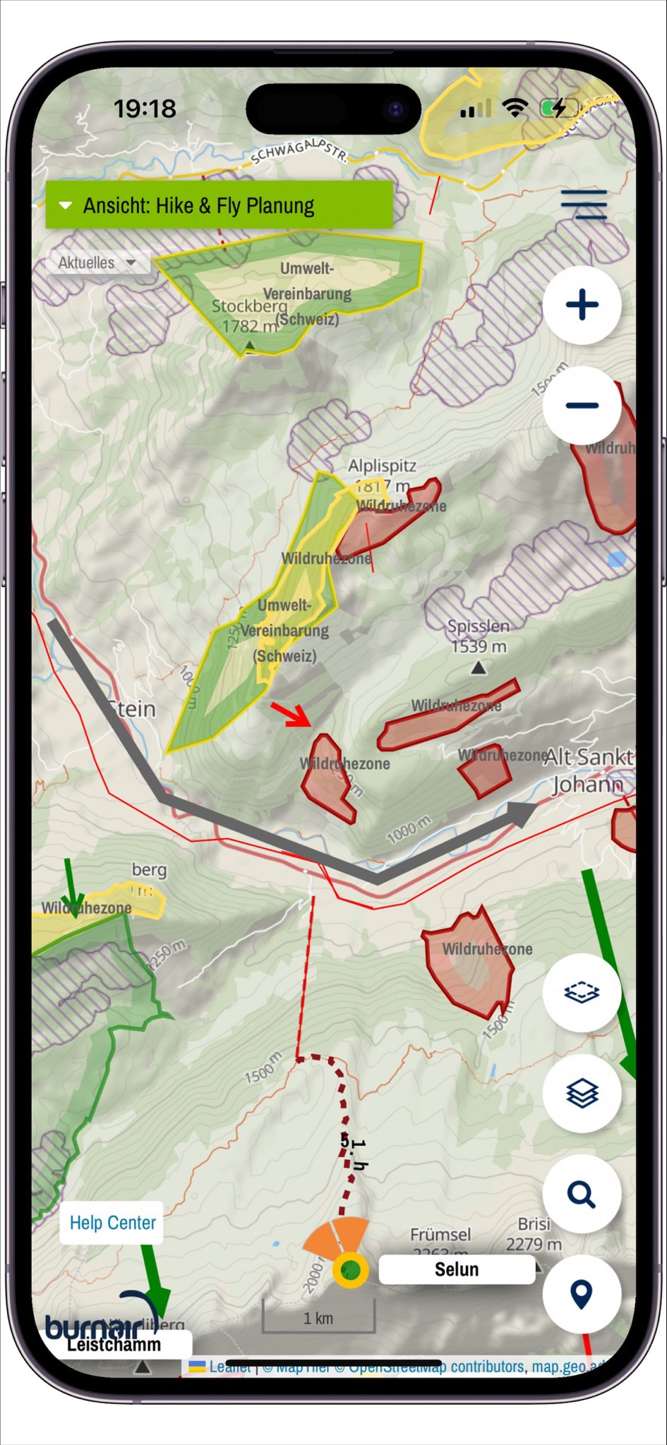
- Wildschutz
- ggf. Luftraum
- burnair Topo Karte
3. Der 5 Punkte Check
- Startrichtung passend zum Wind und Ziel bestimmen
- Luftraum und Umweltschutz prüfen
- <35 Grad Hangneigung und >80m (4 Höhenenlinien) bei 0 Wind mit einer Baumreihe vor dem Start
- Untergrund, Hindernisse und Bäume durch die Satellit Karte in Kombination mit der Baumbedeckung checken
- Abwindcheck (Lee, katabatisch oder Schnee hinter dem Startplatz)
Und los geht`s zum Startplatz!
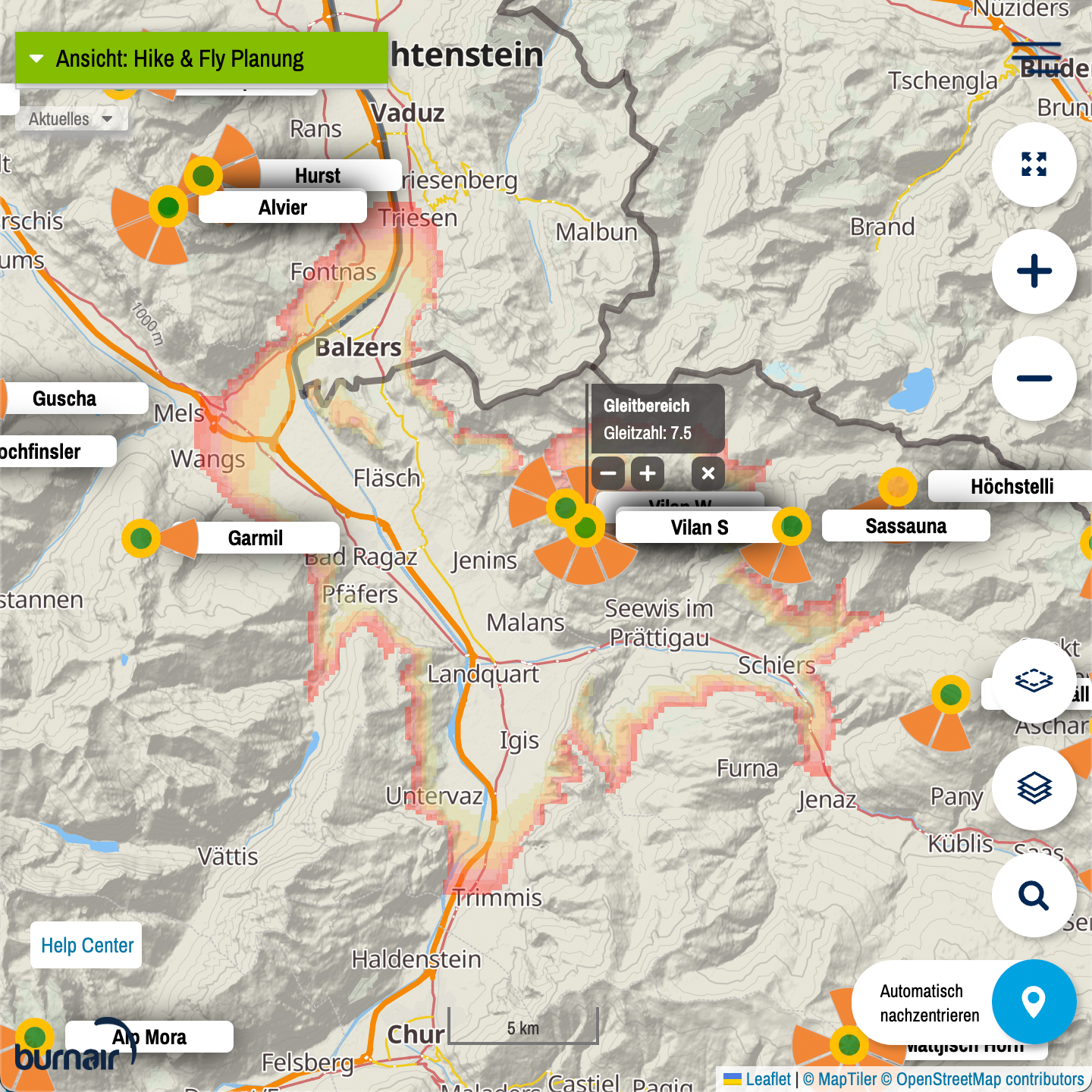
Gleitbereichs-Rechner
Reicht es zum Landeplatz?
Gerade für Hike & Fly Abenteuer ist es oft wissenswert ob man den gewünschten Landeplatz erreicht.
Der Gleitbereichs-Rechner beantwortet diese Frage auf einfachste Weise.
Der Rechner hat 3 verschiedene Funktionen:
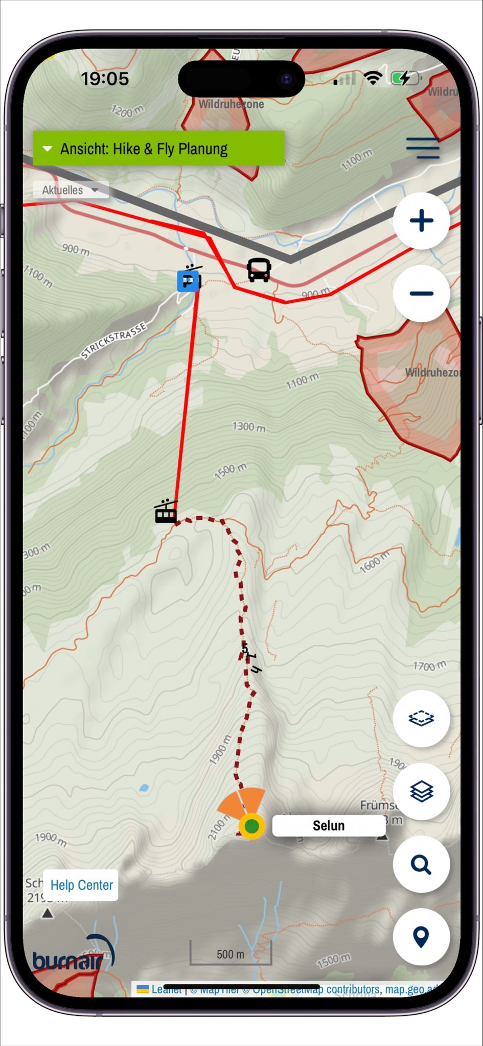
- Gleitbereich ab einem Hike & Fly Startplatz
- Gleitbereich ab jedem beliebigen Punkt
- Anpassung der Gleitzahl auf deine Bedürfnisse
Wie funktioniert es?
Um den Gleitbereichs-Rechner zu nutzen braucht es ein burnair Map Basic oder burnair Map Premium Abo.
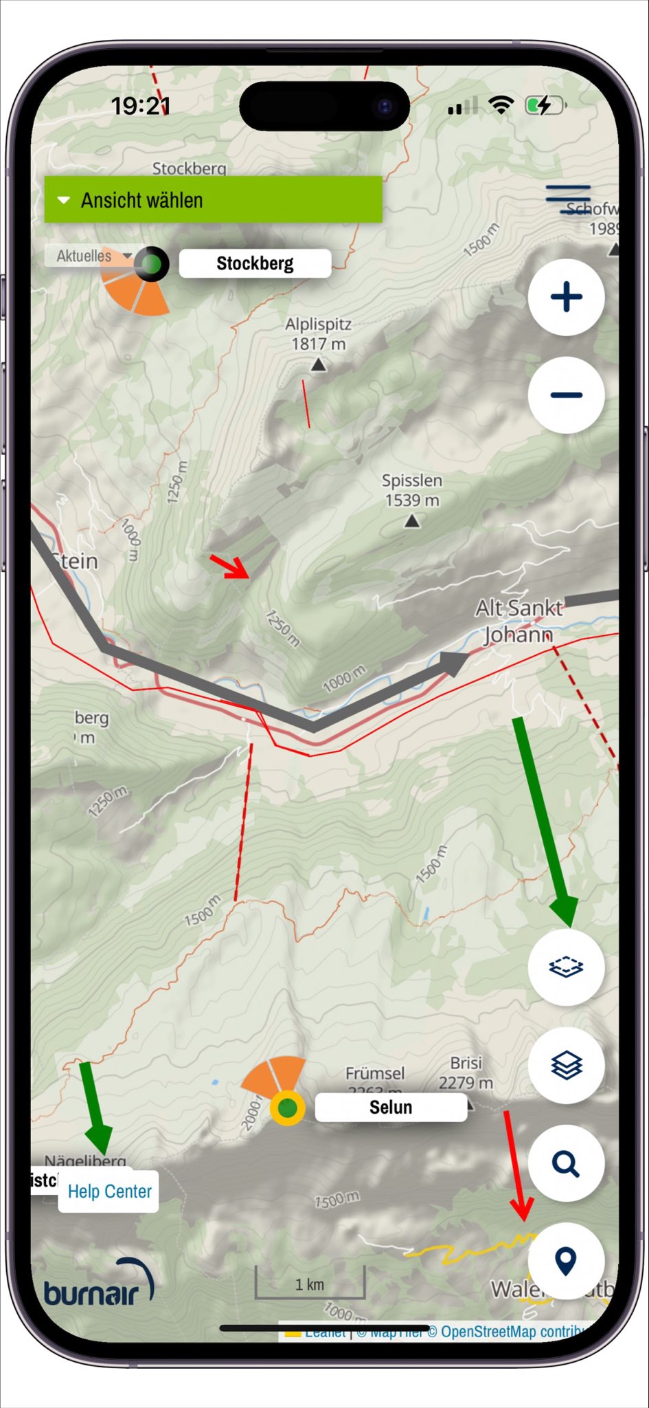
Erklärung zu den Farben des burnair Gleitbereichrechner
- Dunkelrot: <25m* (nicht startbar)
- Rosa: < 80m* (gerade startbar mit einer Baumreihe vor dem Start)
- sehr transparentes rot: <125m* (einfach zu starten)
*Höhendifferenz innerhalb der Kachel
Was steckt dahinter?
Der Kern des Gleitbereichs-Rechner stammt vom Physiker Daniel Arndt – er betreibt seit einigen Jahren die Webseite www.hikeandfly.org (ehemals Parange).
Der Gleitbereich wird rekursiv gerechnet und zeigt an wo man im Gleiten hinkommt – im Hintergrund werden effektive Flugpfade gerechnet, dabei wird das Terrain berücksichtigt.
Abo Übersicht
Die burnair Map gibt es in zwei verschiedenen Abo Varianten.
Hier wird nur ein Auszug der Funktionen gezeigt - du findest alle Funktionen auf der burnair Map selbst - im Bereich "Ebenen".
Free
Für Sparfüchse
- Gewisse Funktionen benötigen eine Registration
Basic
Alles Wichtige
Keine automatische Verlängerung
Premium
Fürs Thermik- und Streckenfliegen
* oder 29.- für 30 Tage bzw. 59.- für 90 Tage
Keine automatische Verlängerung
Hike & Fly
| F | B | P | |
| Hike & Fly Startplätze | |||
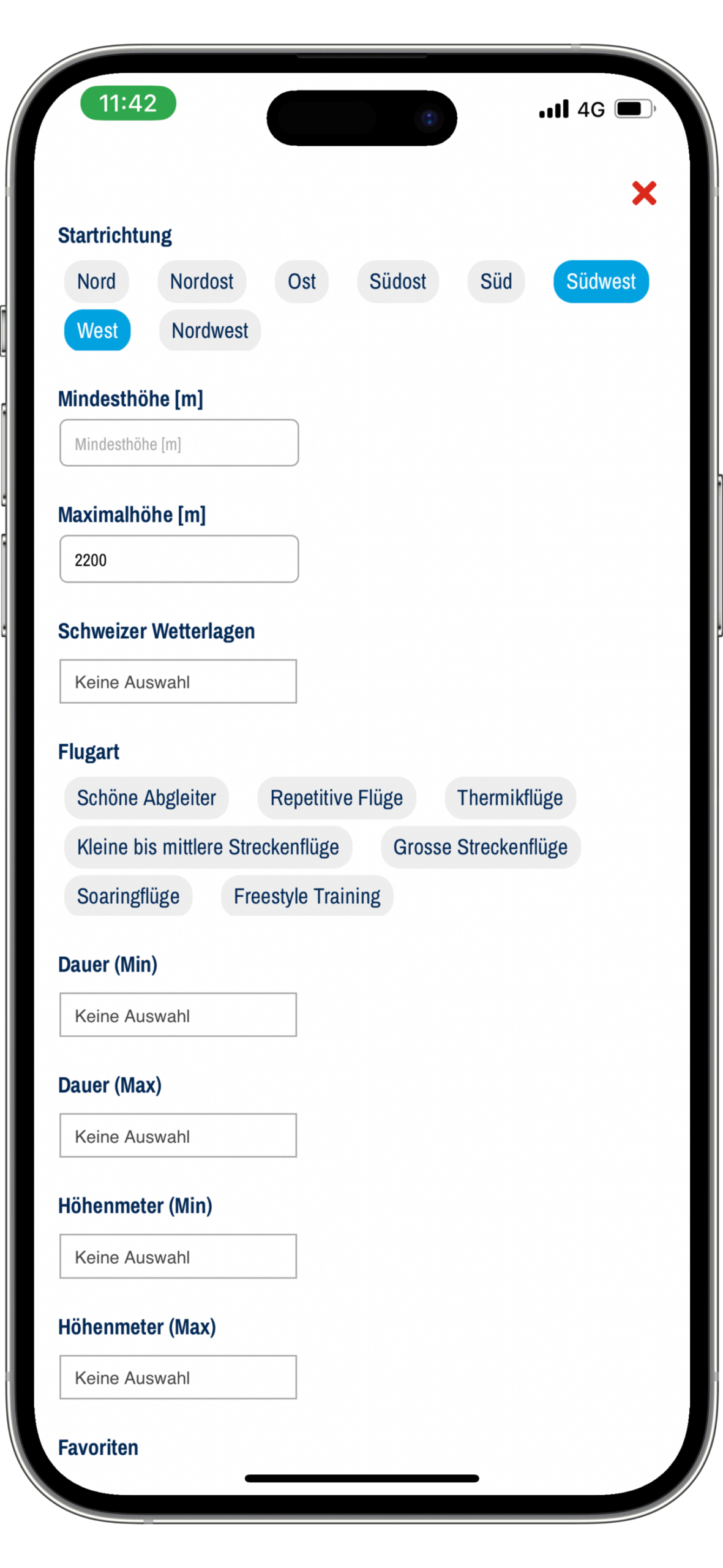
| H&F Startplatz Filter Funktion | |||
| H&F Startplatz Prognosen (5 Tage) | |||
| Gleitbereichs Rechner | |||
| Fusswege mit GPX Download | |||
| Hangneigungs-Klassen (alpenweit) | |||
| Baumdeckung (ESA Satellit, ganzer Alpenraum) | |||
| World Flight Search mit dem Previtemp Finger | |||
| Routenplaner |
Sicherheits Infos
| F | B | P | |
| Hinweiszonen | |||
| Lee Gebiete | |||
| Kabel | |||
| Talwindsysteme (inkl. Stärke) | |||
| Konvergenzzonen | |||
| Lokale Wetterphänomene |
Wildschutz
| F | B | P | |
| Umweltzonen | |||
| Spezial-Vereinbarungen | |||
| Wildruhezonen (CH) | |||
| Jagdbanngebiete (CH) | |||
| Schutzzonen (AuLaV, CH) |
Hintergrundkarten
| F | B | P | |
| burnair Topo | |||
| burnair Topo S/W | |||
| Google Satellit | |||
| Google Terrain | |||
| SwissTopo | |||
| SwissImage | |||
| Segelflugkarte |

